E↗ELLIOTTLAND DEVELOPMENTDiscuss your land ↗

LAND EVALUATION · DEVELOPMENT · EXCAVATION

From raw land
to a plan you can build on.

Need to evaluate a property, develop a parcel, or get the dirt work done?

We evaluate land and prepare reports, partner with investors on select parcels, and provide excavation and site work.

Project inquiries · 469-742-3641 ↗

An Elliott Property Solutions serviceTEXAS & OKLAHOMA PROJECT EXPERIENCE
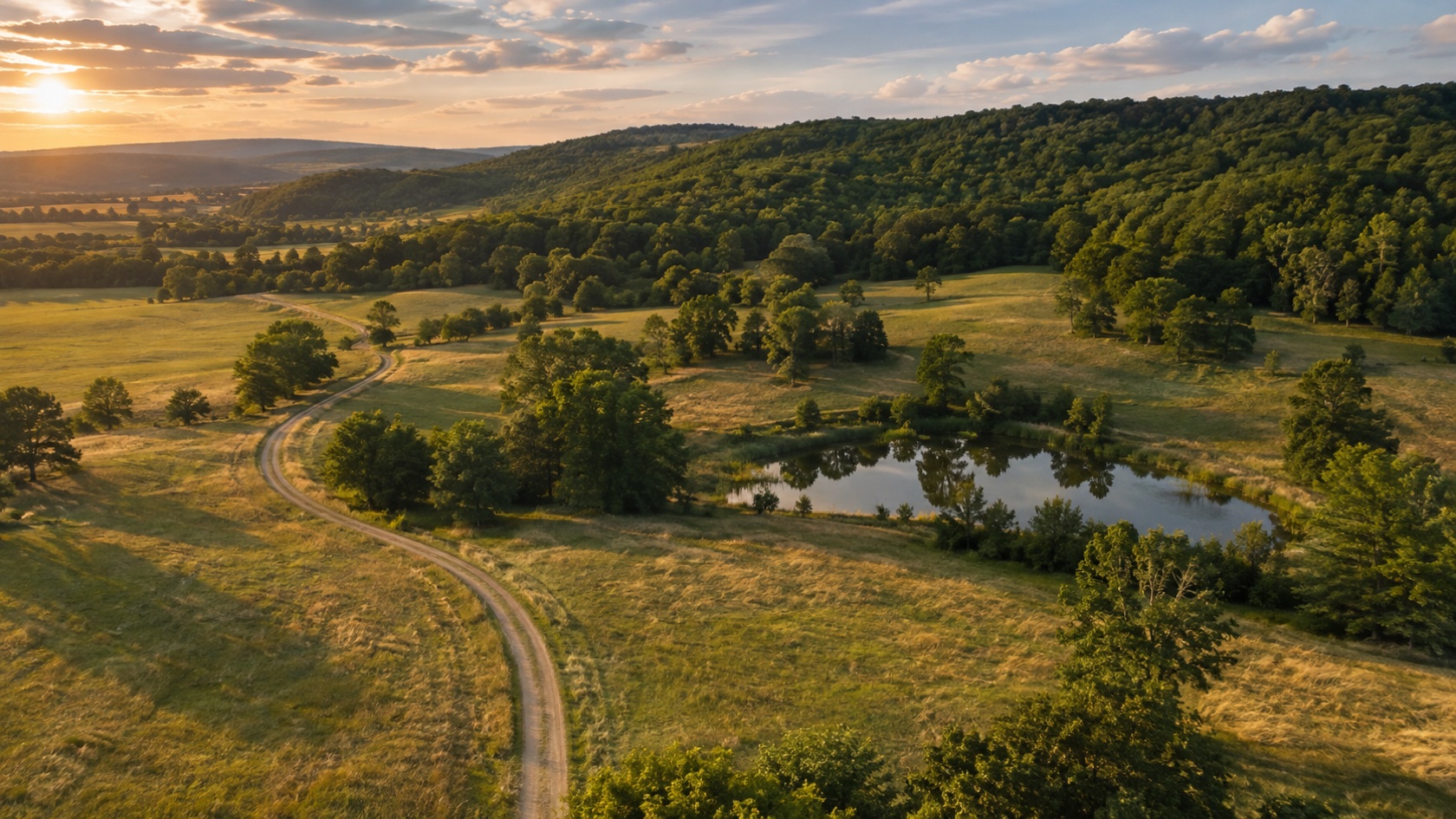
Illustrative aerial view of rolling pasture, wooded ridges, a pond and a rural access lane
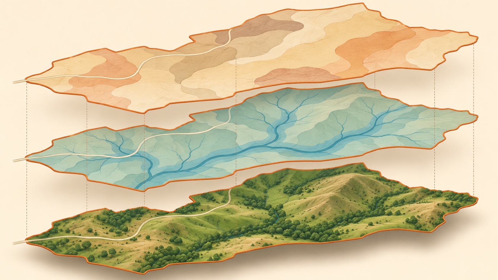
SEE THE LAND. SEE THE POSSIBILITIES.

The right plan starts
with the whole picture.

AI-generated landscape illustration · not a project photograph
Know the constraintsCompare your optionsGet a clear next step

YOUR LAND. YOUR NEXT MOVE.

You have the land.
What could it become?

A place to build. A source of income. An asset ready for its next owner. We help you explore the possibilities with evidence before you commit.

BUILD WITH A CLEARER PICTURE

“I have a piece of land.
Can I build on it—and where?”

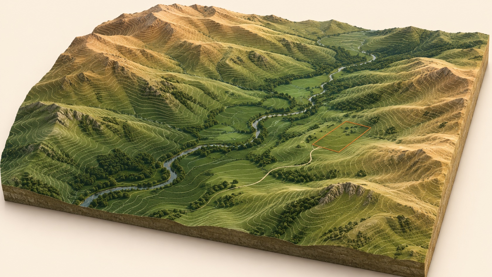
Picture the home, the view and the driveway. Then consider what sits beneath that picture: drainage, slopes, soils, access, utilities and land-use requirements.

How we help

We bring those factors together, compare preliminary building locations and identify the checks needed before you settle on a site. You get a clearer starting point for your surveyor, designer and engineer—and a chance to uncover costly constraints early.
Explore where to build ↗

PUT VACANT LAND TO WORK

“My land is sitting vacant.
Could it produce income?”

Could a lease, recreational use, a cabin concept or a tract split make sense? The right idea needs to fit the property, the local market and the amount you want to invest.

How we help

We screen potential uses against site conditions, access, utilities, land-use restrictions and available market evidence. Compare startup costs, operating needs and income assumptions so you can decide which ideas deserve deeper investigation.

Explore income possibilities ↗

SELL WITH A STRATEGY

“I’m ready to sell.
How do I get the most from it?”

Sell it as it sits, make targeted improvements or explore smaller tracts? The highest asking price is only part of the picture. Costs, timing and buyer demand matter too.

How we help

We compare sale approaches, potential buyer uses and the costs of preparing the land. Understand which improvements may support value, what still needs approval and how each option could affect your net proceeds before committing to a strategy with your broker.

Explore your sale options ↗
A clearer decision starts with a better understanding of the land.

Our research connects what the records say, what the site suggests and what still needs to be verified—so your next dollar has a purpose.

01 / SERVICES

Three ways we can help with your land.

Hire us to evaluate a property, bring us a parcel to consider for partnership, or talk to us about preparing your site.

01 / EVALUATE

Land evaluation & reporting

We gather records, evaluate site conditions and create a plain-English report so you know what the evidence supports and what to check next.

  • Property records, terrain, drainage, soils, access and utility research
  • Annotated maps and a comparison of potential uses or layouts
  • Findings, open questions and recommended next steps
See what the report includes ↓
02 / PARTNER

Investor partnerships

We work with investors on select parcels to buy, improve and resell land or pursue development where the site and the numbers support it.

  • Review the parcel, market and options for resale or development
  • Evaluate proposed improvements, costs and timeline
  • Agree on roles and terms for each project that moves forward
See how we evaluate opportunities ↓
03 / PREPARE

Excavation & dirt work

We help prepare rural properties for the next phase, from shaping a building pad to planning and excavating a pond.

  • Excavation, earthmoving and grading
  • Building pad sites and site preparation
  • Pond planning and excavation
Explore excavation services ↓
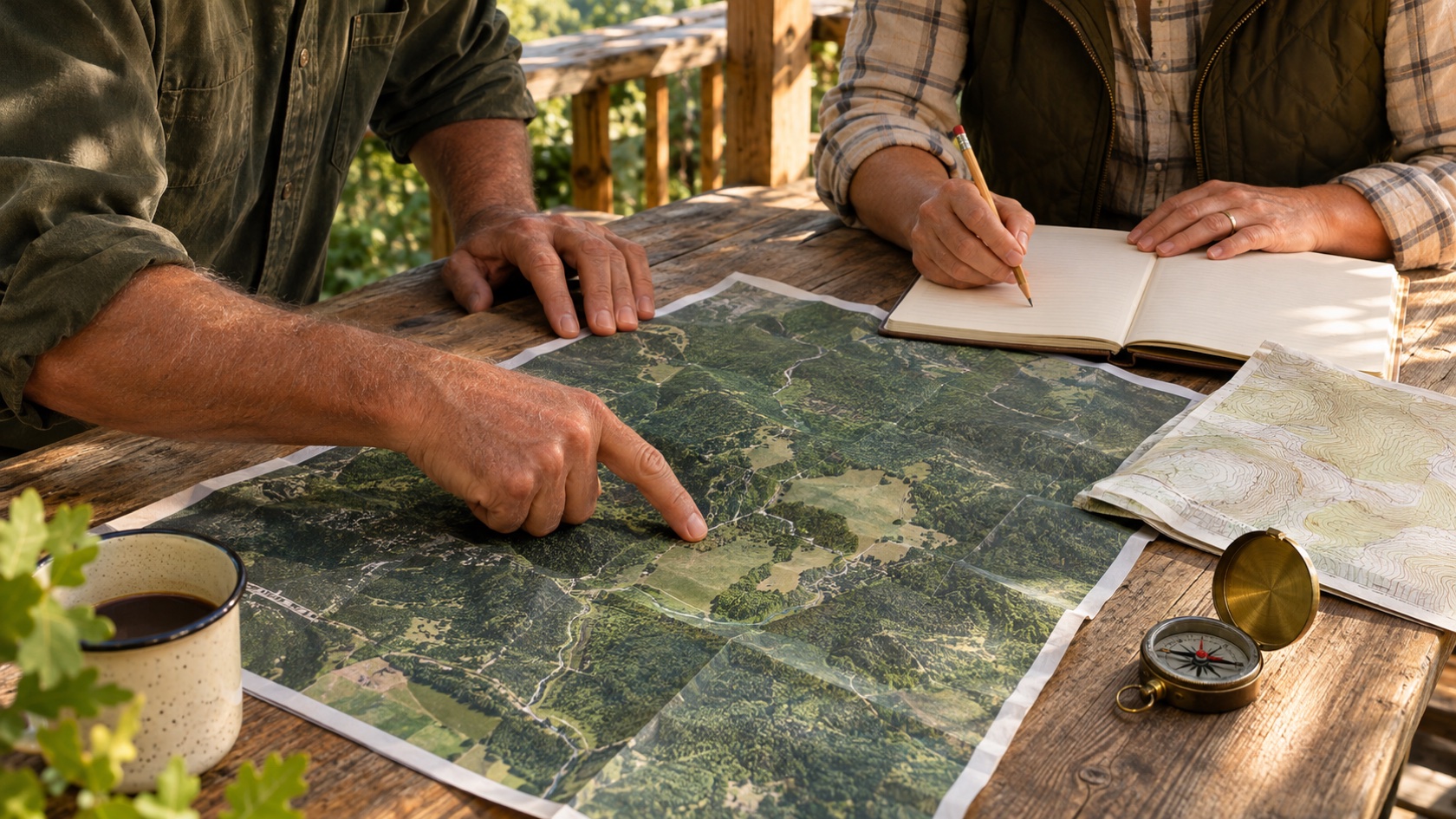
Illustrative scene of two people reviewing property maps and a field notebook
AI-generated planning illustration

WHY HIRE ELLIOTT?

Land data is everywhere.
Direction is harder to find.

You shouldn’t have to piece together county maps, utility information and soil reports to figure out what they mean for your plans.

We connect the research to your goal and explain it in plain English. You receive an organized picture of the property, options worth considering and the questions to resolve before spending more.

  • Find issues before they shape your budget.Identify access, water, terrain and utility questions early.
  • Compare ideas before committing to one.See trade-offs in location, improvements, costs and timing.
  • Give your next professional a better starting point.Bring your surveyor, engineer, designer or broker an organized brief and a focused set of questions.
Let’s discuss your property ↗

02 / FROM DATA TO DECISION

See what the land
may be telling you.

We turn land data into practical questions: Where might you build? What could be expensive? Which possibilities are worth pursuing? Here’s how the research helps.

Research can go deeper than the obvious.

Depending on your property and questions, available records may include:

  • Older aerial photographsLook for former ponds, roads, clearing and changes in drainage.
  • Nearby well recordsUnderstand local drilling history and the questions to ask a well professional.
  • Utility and access recordsIdentify service leads, routes and easement questions that need confirmation.
  • Surrounding development plansInvestigate proposed roads, detention outlets and changes beyond your boundary.
  • Soil and geological mappingFlag ground conditions worth investigating for foundations, septic or ponds.
  • Flood and water-resource mapsScreen mapped constraints and plan the next field or professional review.

Coverage, age and detail vary. These examples explain the research; they do not establish conditions on your land.

Every important finding needs a trail.

Source · date · geographic relevance · confidence · limitations · next verification

Documented recordModeled interpretationField confirmation needed

WHAT YOU GET WITH A LAND EVALUATION

From property research
to a clear report.

You’re hiring us to research the questions that matter to your plans, explain what we find and organize what to do next.

01 / THE FINDINGS

A clear property summary

What the available evidence supports, what it suggests and what remains unknown.

02 / THE PICTURE

Maps with explanations

Relevant layers and notes that connect site conditions to your building, income or sale goals.

03 / THE CHOICES

Options and trade-offs

Preliminary concepts or scenarios, with the assumptions, constraints and cost questions made clear.

04 / THE NEXT MOVE

A prioritized action list

What to check first, which professional to involve and what needs confirmation before committing.

Deliverables are tailored to the agreed scope. Client names and property-specific studies are kept off this website.

Discuss what your study should answer ↗

03 / HOW IT WORKS

Start with a question.
Leave with a plan.

We scope the research around the decision you need to make. Availability and depth of records vary by property.

Tell us what you’re considering ↗
  1. 01

    Define the property and the goal

    Share the address or parcel, available survey, intended use and decision timeline.

  2. 02

    Gather and evaluate the data

    Review records, map site conditions, compare sources and identify gaps that could change the decision.

  3. 03

    Test the options on the ground

    Use a field checklist to investigate the conditions that could change the plan. Arrange specialist review where needed.

  4. 04

    Prepare the report and next steps

    We explain the findings, compare options, and give you a report showing what to verify and what to do first.

INVESTOR PARTNERSHIPS

Have a parcel in mind?

We consider select land flips and development opportunities with investors. We start with the property, what would need to change, what those improvements could cost, and who might buy or use the land afterward.

Bring a listing, parcel reference or acquisition idea. If there’s a fit, we can discuss the plan, each partner’s role and project-specific terms.

Discuss an investor partnership ↗

EXCAVATION & SITE PREPARATION

Get the ground ready.

Need a pad for a home, barn or shop? Planning a pond? We offer excavation, dirt work, grading, building pads, pond planning and pond excavation.

Tell us what you want built and share any plans or surveys you have. We’ll discuss site access, water, the work involved and any design or approvals needed before excavation starts.

Request a site work estimate ↗

A FEW THINGS YOU MAY BE WONDERING

Clear answers.
From the start.

You don’t need to know the technical terms. Tell us about your land and what you hope to do with it.

What does a land feasibility study actually tell me?+

It helps you understand whether your idea appears practical for the property and what could change the answer. We organize available records, review site conditions, compare options and identify the next checks. You receive decision support before committing to detailed design or improvements.

Should I call before buying land or after I own it?+

Either. Before a purchase, research can highlight questions to address during due diligence. If you already own the land, we can help compare building locations, potential income uses or sale preparation options.

Can you tell me the exact spot where I can build?+

We can compare preliminary locations using terrain, drainage, access, utilities and available records. A final building location needs the appropriate survey, site testing, design and approvals. We explain what remains to be confirmed.

Can you help me find ways for vacant land to earn income?+

We can screen ideas such as leases, recreational uses, cabin concepts or tract splits against the site and available market evidence. We compare the assumptions, potential costs and practical requirements so you can choose which ideas deserve deeper investigation. Income is not guaranteed.

Do I need a survey before contacting you?+

No. Start with an address, parcel reference or map location and your goals. An existing survey, deed, photos and plans are helpful. We identify what can be researched now and when a survey or specialist investigation is needed.

How much does the service cost?+

The scope and fee depend on the property, your questions and the depth of research needed. Request a consultation to discuss your goals, scope and deliverables before the study begins.

LET’S LOOK AT YOUR LAND

Discuss your
land project.

Tell us about the land you want to evaluate, the opportunity you want to pursue, or the site work you need.

469-742-3641 ↗

Not sure what to ask? Bring the location and the idea. Start with a conversation about your property. We’ll discuss your questions, the right scope and the fee before work begins.

Tell us about your land

Share the property location and tell us whether you need an evaluation, want to discuss a partnership, or are planning site work.

This opens a draft in your email app so you can review and send it to Wes.

Good planning knows its limits. Our work supports early land-use decisions. Preliminary GIS boundaries and concepts are not surveys or construction plans. Surveying, engineering, geotechnical testing, title opinions, appraisals, environmental determinations and permit approvals require the appropriate professionals and authorities.